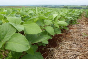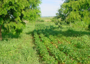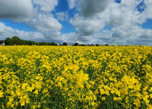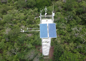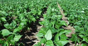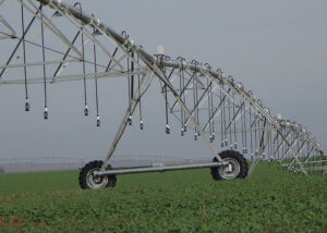
Satellite monitoring identifies irrigated areas based on soil moisture
Irrigation is used as a tool for regional development in Brazil and other countries. New method maps the annual variation of effectively irrigated agricultural areas based on soil moisture indices.These indices are obtained from freely accessible, medium-resolution images from the Sentinel-2 satellite. The method also uses Artificial Intelligence (AI).This new